The New Highway from San Jose to the Coast is now open.
This is a dream highway in every respect for Costa Rica which was completed in 2010. It ranks as one of the best stretch of highways in all of Costa Rica. When it was completed it eliminated that awful and tedious drive through the mountains. This is just a fantastic drive with no hair pin curves, no one lane bridges and no towns to go through. It’s just a straight shot to the beach with exits along the way. We shot some photos starting in Escazu with intermittent shots along the way to the Orotina exit.
The drive to Jaco from San Jose is now about 1 hour, and another 15 mins to the Las Olas site.
This new access to the Central Pacific beaches and other parts of the country has led to huge growth and an increase in demand and land values, especially beach properties along this stretch. The Central Pacific Coast is very attractive for upscale Costa Ricans and others who love to go to the beach every chance they get. You can now get to the Pacific coast in the time it normally takes to get from San Jose to Heredia in rush hour.
So, this new highway has down tremendous things for the country’s growth and land values along the central pacific coast.
Click on the first picture to start the Tour.

New road starts in Escazu and when completed it will take about one hour
to get to Las Olas Beach Community.

New road starts in Escazu and continue through Santa Ana and Cuidad Colon.

Coming from Escazu entering New Highway at Ciudad Colon .

Toll Booth at Ciudad Colon.

From Ciudad Colon on the New Highway heading to Orotina, approaching the first exist at San Rafael.

This is the exit at San Rafael not too far from Ciudad Colon.
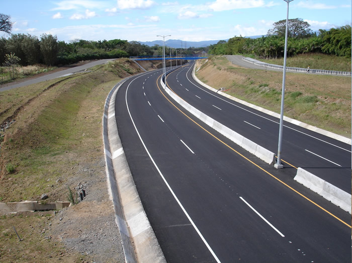
Continuing past the exit toward Orotina.

Continuing on New Highway towards Orotina with approaching signage.

Approaching signs for Atenas 27 and Guacima and Vueltas 124.

Approaching Coyol Siquiares Exit.


The exit and Coyol Suquiares Exit and directions to Atenas.
Continuing towards Atenas and Orotina.

Continuing to Orotina with exit on the right.

Approaching the exit for La Garita and Turrucares.
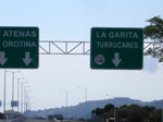
Exit for La Garita and Turrucares with directions to Atenas and Orotina.
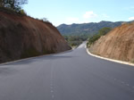
On the way to the Atenas Exit and one of the new bridges ahead.
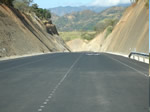
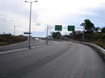
Approaching the Atenas exit with signage to Orotina and Caldera.
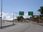
The Atenas and Rio Grande exit.
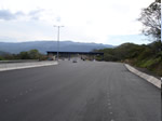
A toll booth past the Atenas Exit. There are two toll booths between Escazu and Orotina.
Road continues to Orotina.

Road continue to Orotina.
Road continues to Orotina.
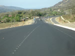
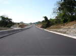
Approaching the Escobal and Guacimo Exit.

Escobal and Guacimo Exit with Signage onward to Orotina and Caldero.
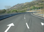
Road continue to Orotina.
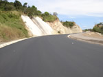
Road continues to Orotina.
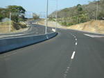
Road continues to Orotina.
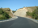
Road continues to Orotina.
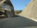
Road continues to Orotina.
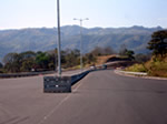
Road continues to Orotina.
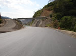
Road continues with new overpass.
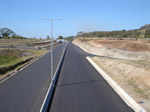
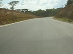
New road about three kilometers from Orotina.
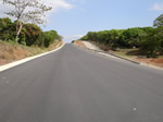
Continuing on new road about 2 kilometers from Orotina.

Approaching the exit to Orotina.

The exit at Orotina. We are now about 25 minutes from Jaco Beach and 40 minutes from Esterillos Oeste.
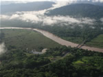
Tarcoles River travels through the Nicoya Peninsula and flows into the Pacific.
River hosts one of the world's biggest populations of American Crocodiles.
The bridge is a good spot to observe and photograph the humongous crocodiles
in the water.
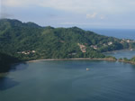
Punta Leaona. This is the oldest beach side community
about 15 min from Jaco Beach.
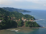
Punta Leona point.
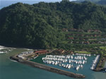
Los Suenos and the marina which is the most successful development in Costa Rica.
The condos up in the hills are selling in the seven figures.
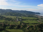
Jaco Beach 15 minutes
north of Las Olas Beach Community
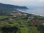
Another view of Jaco Beach.
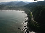
Road going out of Jaco to Playa Hermosa.
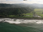
At Playa Hermosa the main road goes to the left away from the beach.
Las Olas Beach Community is 10 minutes South.
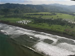
As we continue from Playa Hermosa, the hills continue to
be quite a distant from the beach. From
this point on the terrain is flat all the way to Quepos
with the exception of Esterillos Oeste, the location of
Las Olas Beach Community.
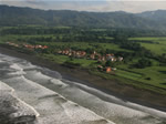
This is Hermosa Palms which is very low and needed 6 feet of fill dirt before
construction. Land is selling for 1000 per sq meter. As you see the land is flat.
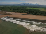
Continuing south to Esterillos Oeste you can see the
land is flat and wet.
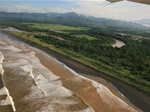
Further south the land is still flat and marsh.
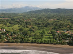
Las Olas Beach Community at Esterillos Oeste, view from the ocean. Only 1/10
of one percent of all the Land for sale in Costa Rica is located on a nice beach.
The property consists of about 100 acres right on the ocean. This is a designated
blue flagged beach.
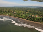
Las Olas Beach Community,
as you can see there are
gently rolling hills right next to the ocean. This is
where people want to be and why one of the best
investments you can make is in beach front property in a
popular resort area.
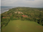
View from the South, notice the hills at
Las Olas Beach Community and just south of the property
the terrain goes flat. Rental demand is high for beach
front property.
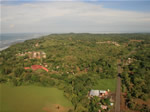
Another South view with the main frontage road on the right.
All the utilities on the site and is bounded on all sides by roads.
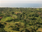
View of the back of the
property looking to the ocean. When new road is finished
to the coast it is expected that beach front property
will double or even triple.
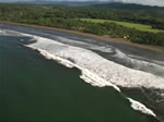
Continue south from Esterillos Oeste to Quepos, terrain
turns flat and wet again.
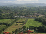
Continuing south towards Quepos more flat terrain.
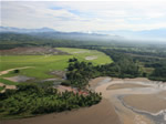
Continuing south land is flat with estuaries and non
accessible or buildable.
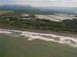
Continue South toward
Quepos more flat and wet land with a
Shrimp Farm in the background.
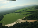
Terrain still flat and wet
and much of this land is protected by the government.
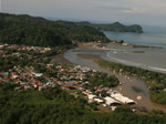
We reach Quepos, which is 30 miles south of Las Olas Beach
Community, where there is finally hills next to the ocean.
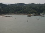
New marina in Quepos
harbor due to be completed in 2009.
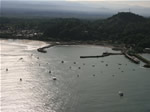
Another view of the the new marina in Quepos
harbor.
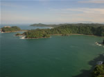
Manuel Antonio National
Park, the most popular tourist attraction in Costa Rica,
only 40 minutes south of Las Olas Beach Community,.
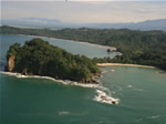
Close up of Manuel Antonio
National Park and a view of the beach.
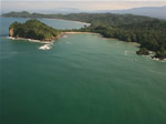
Manuel Antonio National
Park is one of the few places in the world where there
is rain forest right next to the ocean.
All photos are copyrighted material and all rights are reserved by Las Olas Beach Community.
